Why PPK is ideal for aerial surveys
This article mainly describes why aerial surveys prefer PPK over RTK/GPS.
Why is GPS not suitable for aerial surveys?
- Low work efficiency
- If the aerial survey adopts ordinary GPS positioning, in order to correct the error, it is necessary to send people to set up a lot of control points on the spot, but using RTK/PPK can eliminate or only need very few control points; and most surveying and mapping areas have complex geographical environments, and it is difficult for outdoor staff to Set up enough control points; and when processing data, it takes a lot of time to mark and search for a large number of control points.
- Poor result positioning accuracy
- GPS positioning accuracy is far from RTK and PPK. If GPS positioning is used, it is difficult to meet the accuracy requirements of aerial survey results, and even the results are difficult to form.
RTK/PPK can reduce control points by more than 80% and can achieve centimeter-level positioning.
- GPS positioning accuracy is far from RTK and PPK. If GPS positioning is used, it is difficult to meet the accuracy requirements of aerial survey results, and even the results are difficult to form.
Why is GPS not suitable for aerial surveys?
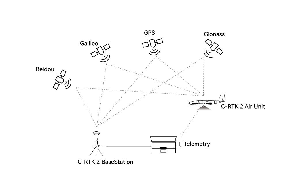
RTK (Rael-time kinematic): real-time dynamic carrier phase technology, is a technology in which the base station sends the positioning error to the mobile station through the data link, and the mobile station corrects the positioning through the error information to obtain centimeter-level positioning.
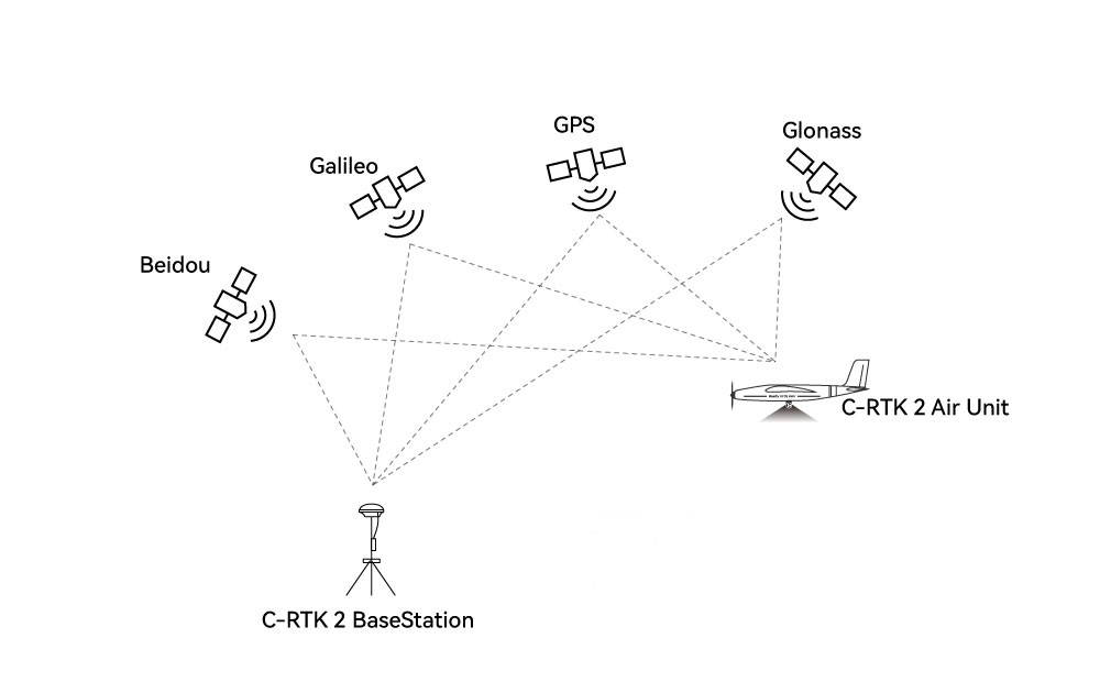
PPK (post processed kinematic): Post-process carrier phase differential positioning technology, which is a simultaneous observation of the base station and the mobile station to form a virtual carrier phase observation, determine the relative position between the receivers, and finally introduce the base station. the known coordinates of the rover to obtain the three-dimensional coordinates of the rover
**The difference between RTK and PPK:
- Communication method is different:RTK requires radio or network to transmit positioning error data in real time, while PPK technology mobile station and base station do not need real-time communication.
- Different working methods:RTK uses real-time kinematic, which can view the currently processed coordinates in real time; PPK needs PPK solution to obtain accurate positioning information of the target point.
- Different working radius: RTK is restricted by the communication station, and the baseline distance is less than 10km. Even if the mobile network is adopted, it is difficult to ensure the uninterrupted network; PPK technology operation does not require real-time communication. Generally, the operation radius can reach 50km.
- Affected by the environment During RTK operation, it is very easy to lose the lock when passing obstacles such as trees, houses, and mountains, and it is not easy to lose the lock during PPK operation.
- Different positioning accuracy:RTK participates in the calculation of real-time epoch data; while PPK can solve a cycle of epoch data through post-difference, which can not only improve the probability of fixed solutions, but also have high solution accuracy, which can generally reach the millimeter level.
Advantages of PPK
- The base station and the mobile station do not need real-time communication
- Large working radius (long baseline distance): up to 60km or more
- It is suitable for the complex environment of aerial survey, and the environment has low impact on it.
- High positioning accuracy
- Reduce control points by more than 80%, or even no control points